
Barber on deck as a field of broken ice stretches off into the distance
the balloon people
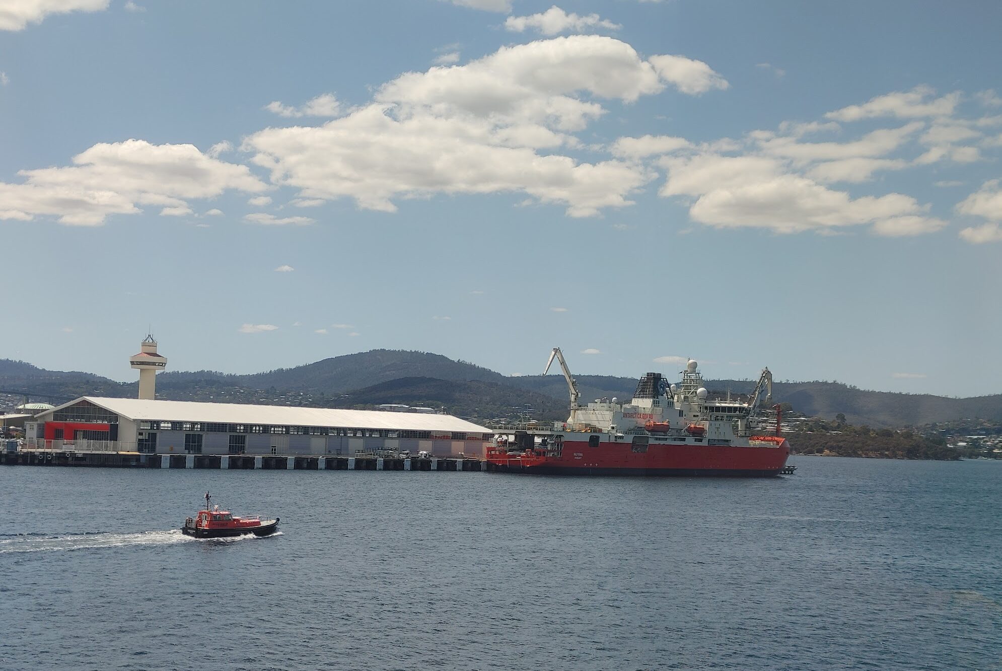
For this voyage, our destination is the Denman Glacier. But as the saying goes, the journey is as important as the destination. My research team, the atmospheric scientists — or as we are colloquially known on the ship, “the balloon people” — has been collecting data since leaving Hobart. We are interested in studying clouds and aerosols in the Southern Ocean and along the coast of Antarctica. Participating in this voyage allows us to be in the region we want to study as well as partner with other teams on board to understand interdisciplinary connections between the ocean and the atmosphere.
The journey has been productive for us as we had the opportunity to release weather balloons in a stratocumulus cloud field in the middle latitudes of the Southern Ocean during the transit down to the glacier. Now that we are at the glacier, we are interested in air masses coming off of the continent or air masses that pass over biologically active areas. In general, we are happy to sample air anywhere near Antarctica.
Other teams on board are more location-dependent. The Denman Glacier is unique geographically because underneath it is the deepest canyon on any of the continents. It reaches 11,500 ft below sea level according to a study by Mathieu Morlighem. That is almost twice as deep as the deepest part of the Grand Canyon. The tongue of the glacier pushes out from the continent, floating on the ocean, and our sampling path has followed along the face of the glacier.
One activity on board has been daily scientific presentations after lunch. Over the course of these presentations, several things have stood out to me. One very clear feature reveals itself in almost every map shown by research groups: Eastern Antarctica (the region south of Australia) is a very data-sparse region. Most of the reason for the lack of observations is geographical, with a one-way voyage from Hobart to the coast of East Antarctica taking as long as a round-trip tourist cruise from Argentina to the Antarctic Peninsula and back again. Eastern Antarctica also has less infrastructure with fewer bases and fewer countries operating vessels in the region. All those factors lead to less data being collected in this region.

Large sheets of ice stretch for as far as the eye can see, A common sight in the region: a common sight in the region.
Another common theme in the science talks is the ability to generate a historical story from the region. In a talk by Sally Lau, she discussed how the genetics of a species of octopus could help scientists to understand how shelf-dwelling species survived the glacial periods where ice sheets would have scraped across their habitat. Another record of the history of the region is the layers of sediment in the bottom of the ocean which scientists sample from the Nuyina using coring equipment. When collecting a sediment core, you get a layered stack of mud samples back. Those samples go back in time as you go deeper in the column. Based on the biology and chemistry of the mud, you can date the layers. The properties of the Southern Ocean at the time the mud was deposited can be understood based on what is encapsulated in the sample.
Collecting these samples from the bottom of the ocean is not an easy task and our location makes it even more difficult. Mick, our sea-ice safety expert on the seal tagging team, joked that the glacier is “an iceberg making machine.” That point was driven home this morning by the icebergs moving past the ship at a speed of 3 knots. The ship was keeping its same position as we completed some ocean water sampling but there was the illusion that we were moving as the icebergs were pushed around us by strong underwater currents. The crew’s expertise allowed us to stay in the same location for an hour and a half with instruments in the water without colliding with the huge, moving icebergs around us.
Next week, I will explore how this group of voyage members ended up on the Nuyina. With people from over ten different countries and an array of experience and backgrounds, I will trace back some of the paths that lead to working on a research vessel.


 The climate challenges Utah and the region face are a threat, but these challenges can also drive innovation and create a robust workforce.